Integrated solutions

One partner from
canopy to cloud.

Experience design, environmental data, physical infrastructure and operations—built to work as one connected system.

01
Immersive education

Make nature impossible to ignore.

We create sensory, interactive learning environments that turn forest knowledge into wonder—from touch-driven animal information and projection games to mixed reality wildlife encounters.

  • AR, VR, MR & XR experiences
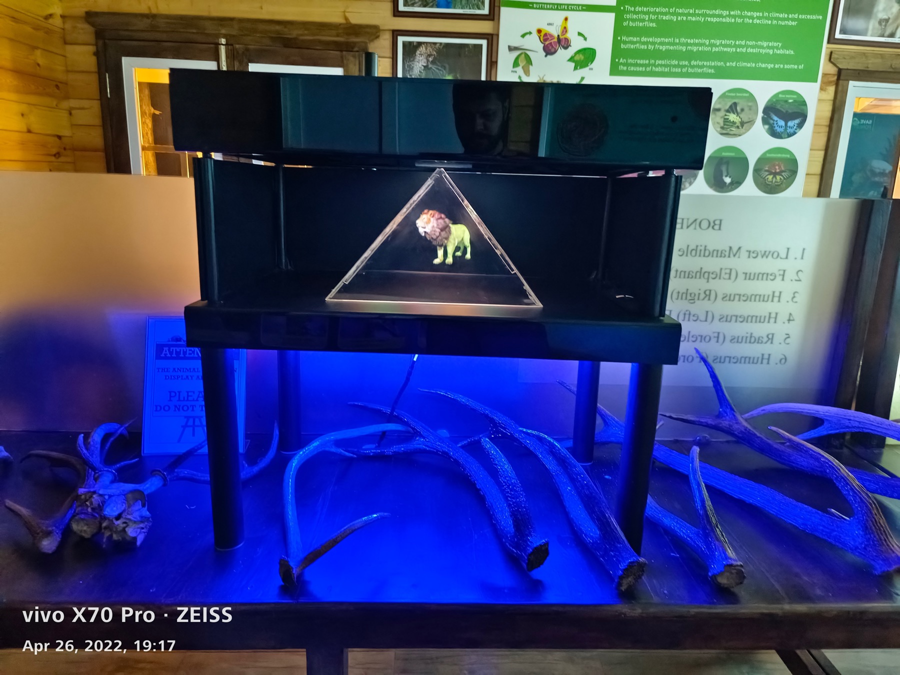
  • Holograms and air 3D displays
  • Bird-sound, wood and animal-track kiosks
  • Interpretation centres and digital content
Discuss this solution
02
Forest intelligence

See the landscape. Decide with confidence.

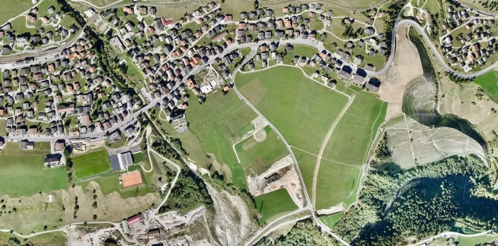
Our complementary data stack brings satellite, drone, LiDAR, field-device and IoT information into a unified view for monitoring forests and planning interventions.

  • Forest boundary and encroachment monitoring
  • Water-body, cover and land-use change
  • LiDAR-based 3D forest models
  • Smart geoportals and decision dashboards
Discuss this solution
03
Eco-destinations

Create places that belong to the landscape.

From concept to operations, we develop low-impact destinations that combine education, leisure and local opportunity while keeping environmental respect at the centre.

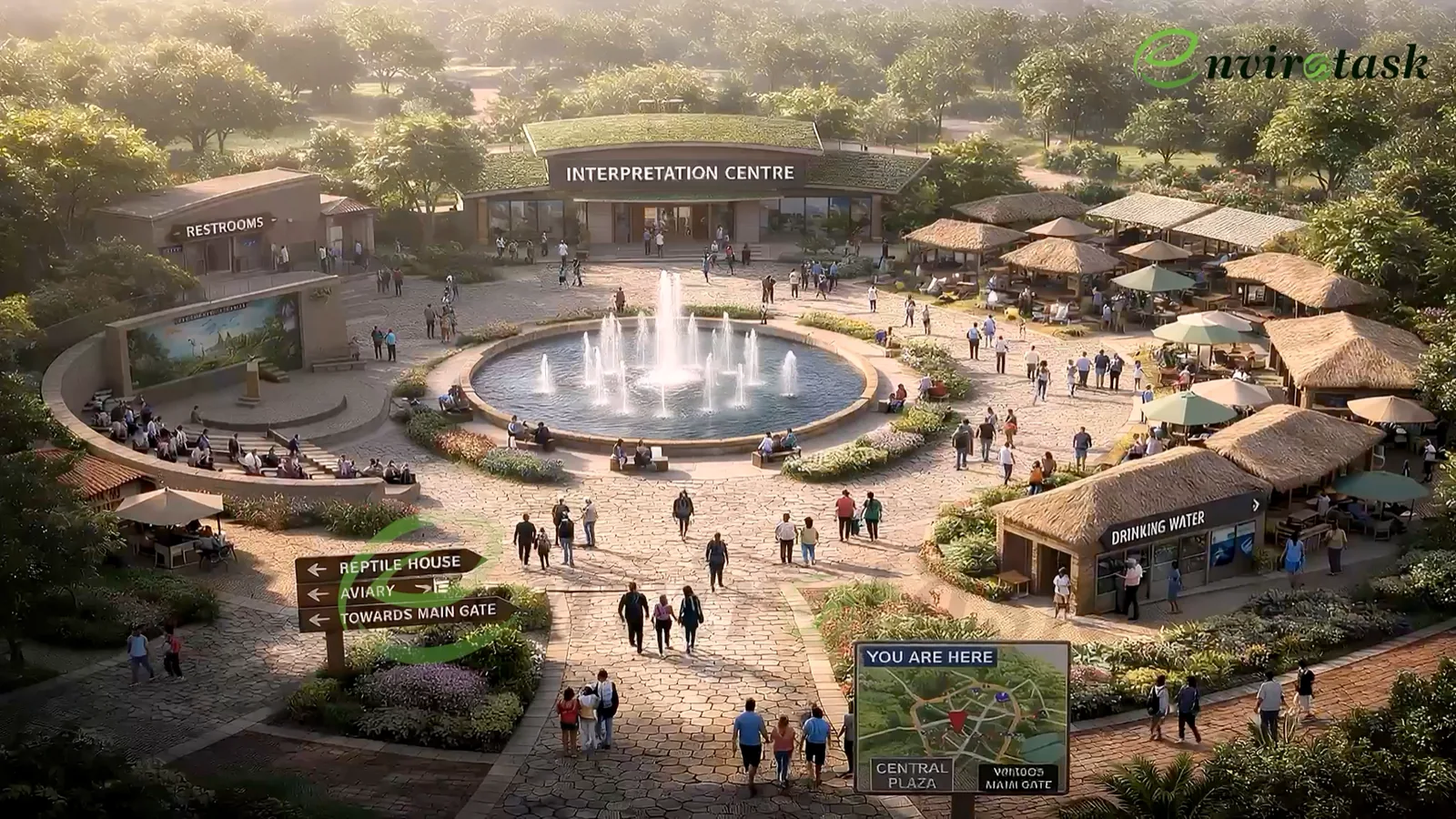
  • Nature interpretation and education centres
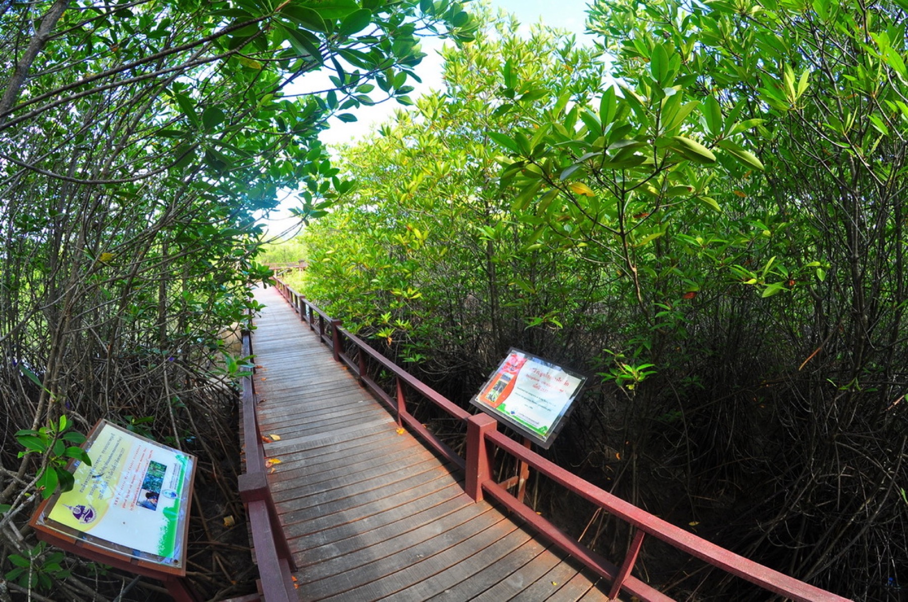
  • Eco-huts, bamboo structures and walkways
  • Signage, gazebos and outdoor installations
  • Destination apps, ticketing and visitor journeys
Discuss this solution
04
Safari mobility

Move visitors responsibly through the wild.

We provide and customise safari vehicles and supporting systems for forest and wildlife settings, with practical attention to durability, access and the visitor experience.

  • Purpose-built safari vehicles
  • Custom seating and field-ready configuration
  • Battery-operated vehicle solutions
  • Fleet planning and ancillary services
Discuss this solution
05
Visitor systems

Connect the experience end to end.

Digital visitor tools, ticketing, cashless access, reporting and operations help destinations reduce friction and make better decisions from reliable information.

  • Mobile apps and QR-led content
  • Ticketing and access journeys
  • NFC identity and payments
  • MIS, reconciliation and visitor insights
Discuss this solution
Forest data stack

Multiple signals.
One clearer picture.

Different acquisition technologies provide the coverage, precision and frequency needed for better environmental monitoring.

Wise
Platform
Satellite
Field
LiDAR
UAV
30+potential data attributes
3Dforest modelling capability
10 cmsite-survey accuracy capability
Your challenge, connected

Let’s design the right system
for your landscape.

Start a conversation